
Apr 29, 2026
Drone Survey: Complete Guide to Modern Land Mapping, Inspection and Accurate Data Col
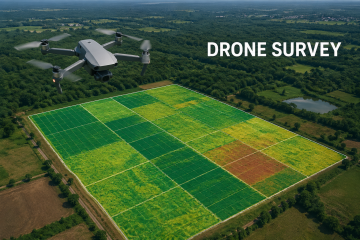
Drone survey has transformed the way land measurement, mapping, inspection, and site analysis are performed across industries. By using advanced unmanned aerial vehicles (UAVs) equipped with high-resolution cameras, GPS systems, and mappingRead More